The 1575 Rental Survey for Great Coggeshall
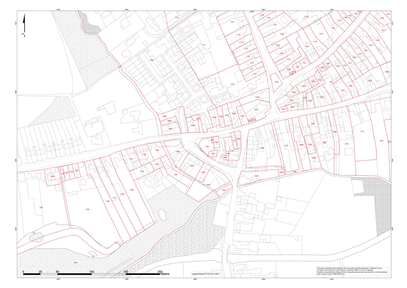
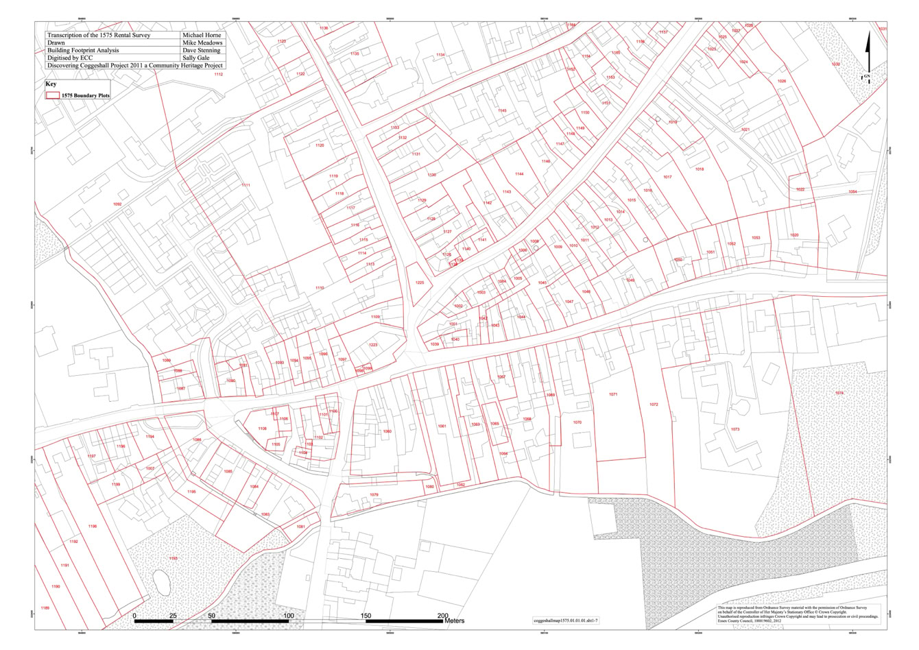
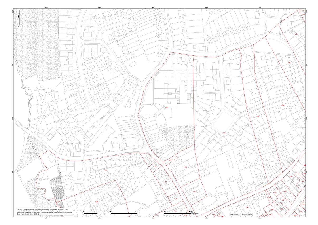
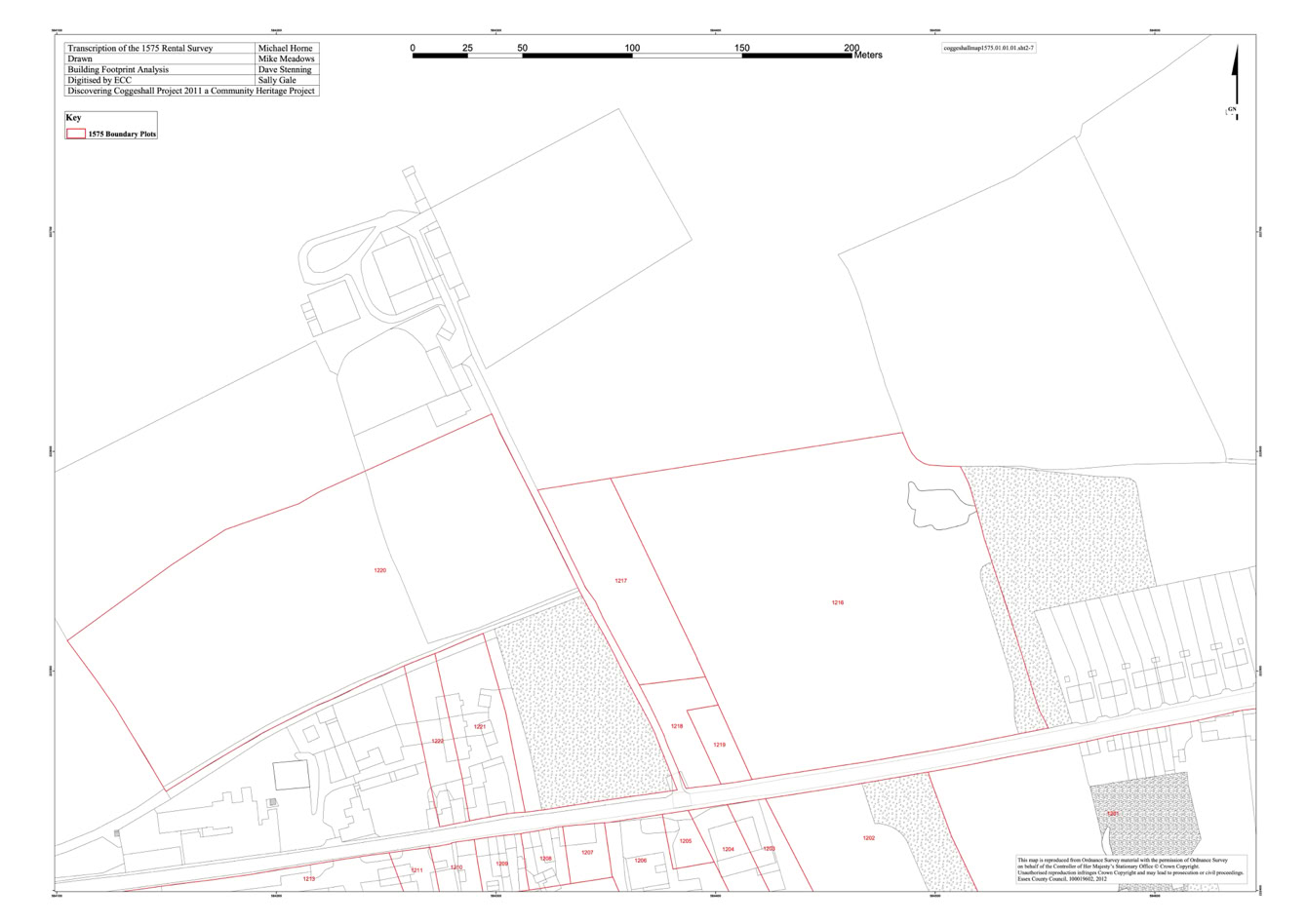
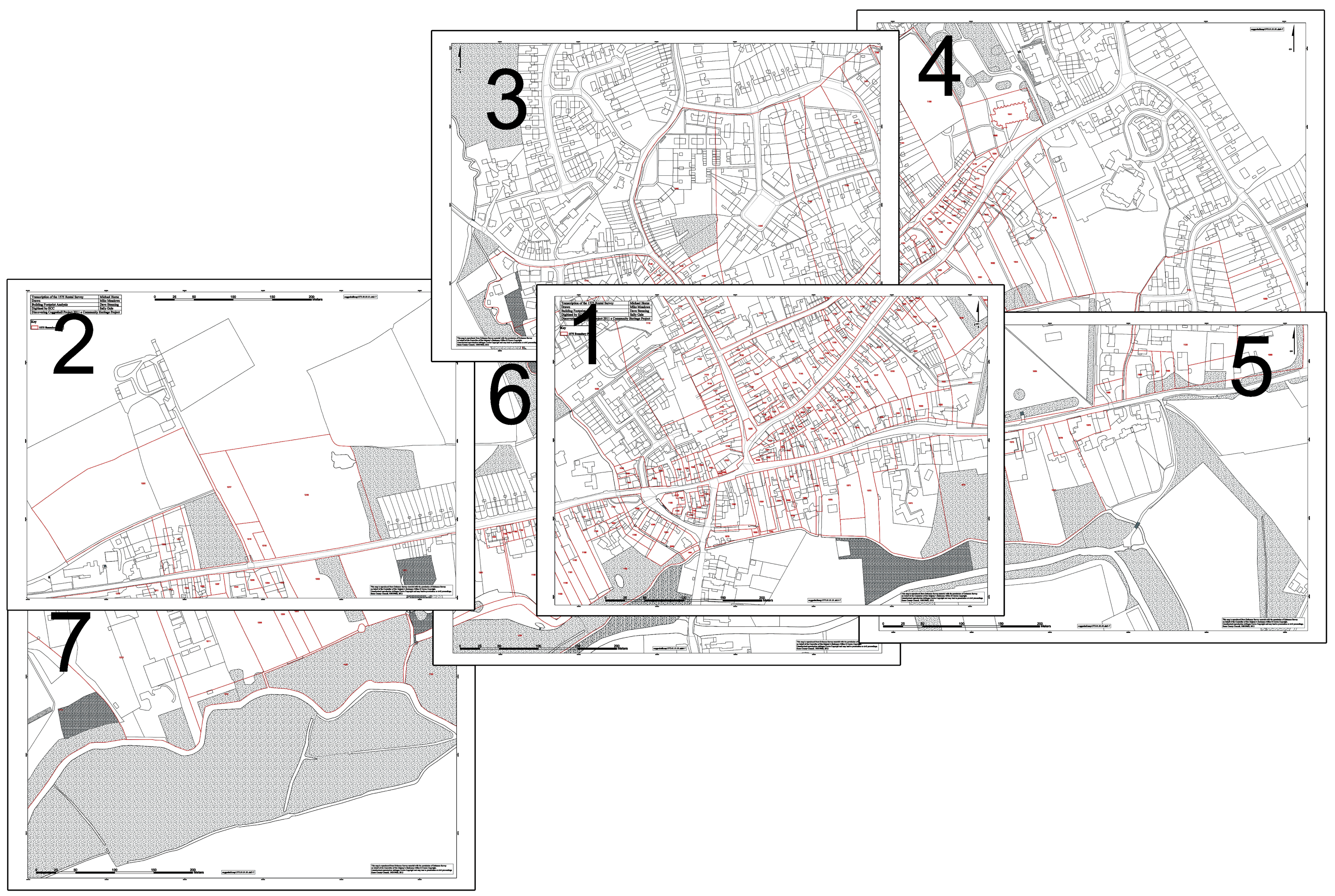
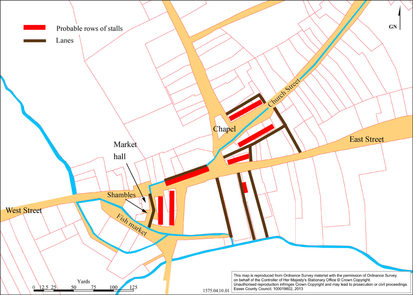
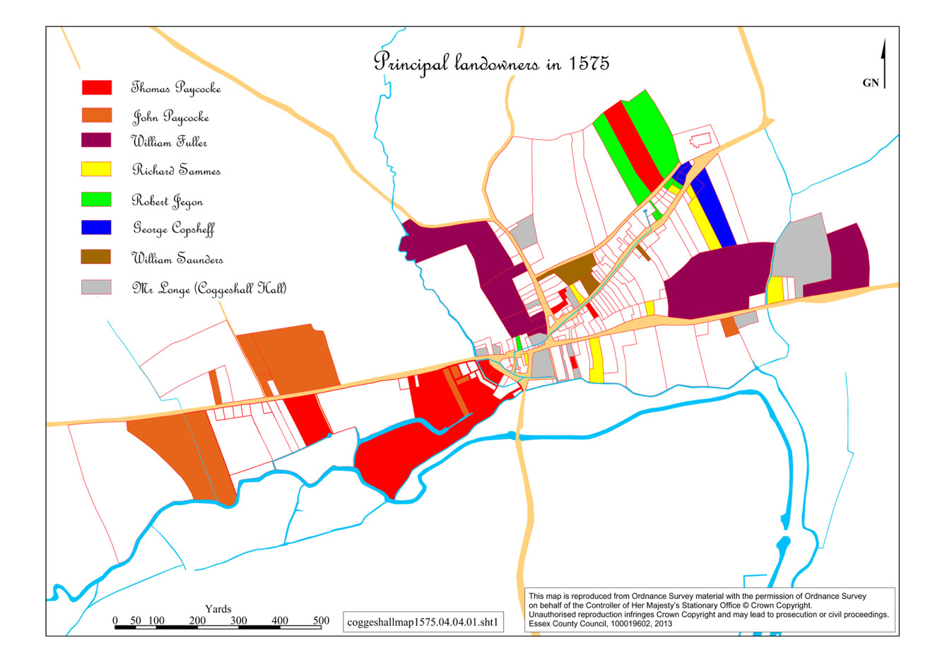
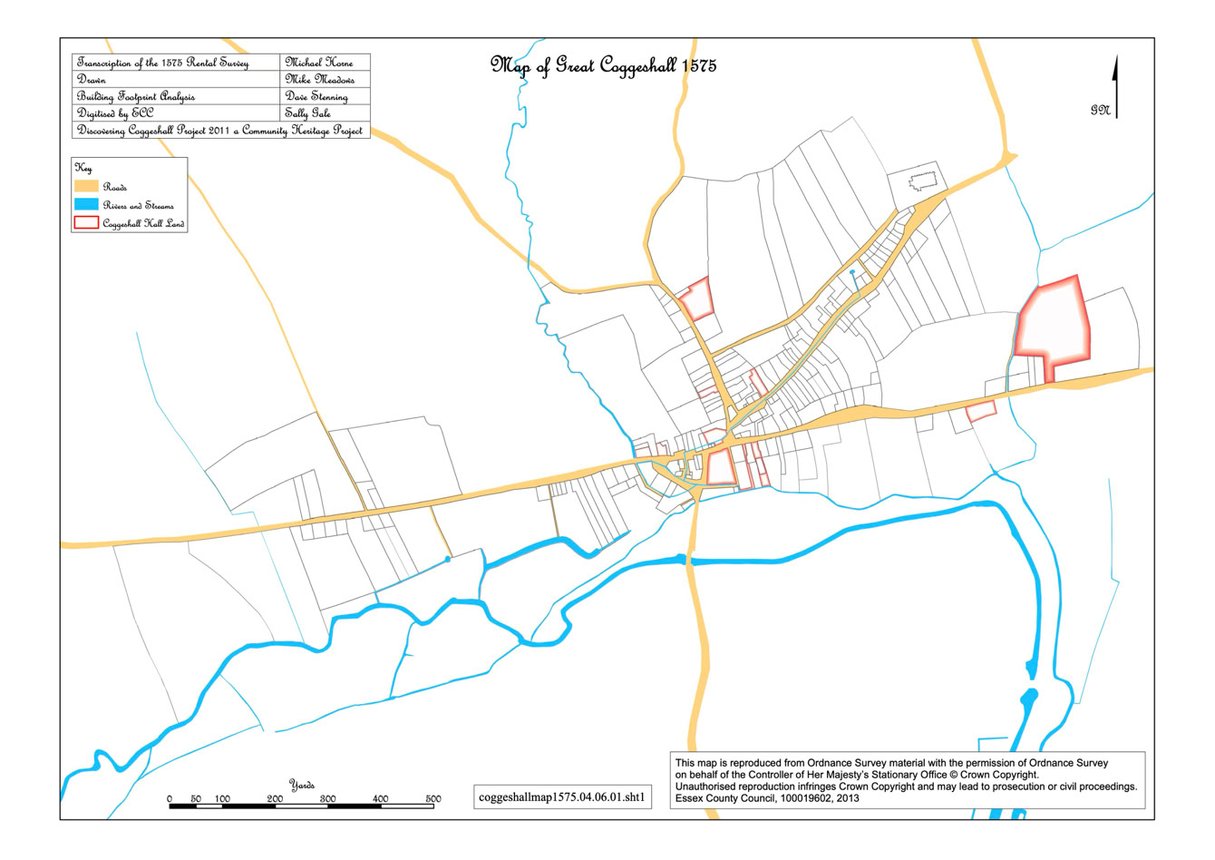
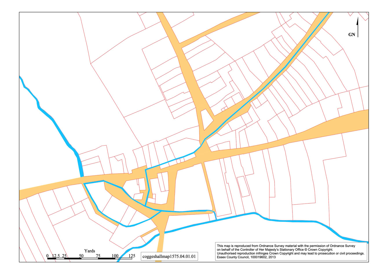
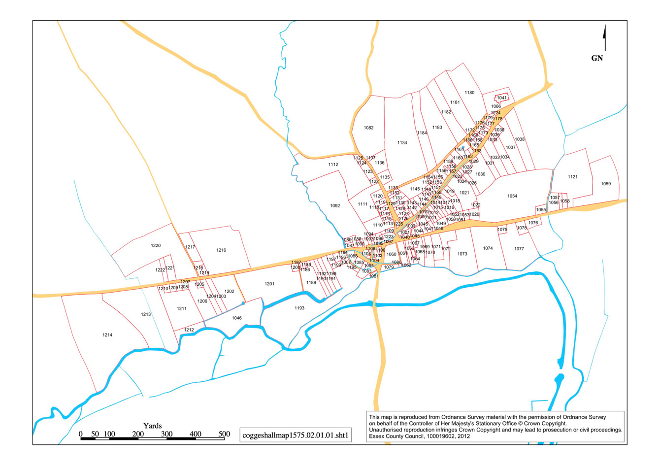
The Rental Survey entitled “Coggeshall in Essex”, dates from 1574 to 1575. It records various documents connected with the Manors of Great and Little Coggeshall, under the Duchy of Lancaster. The Survey is remarkable in that it not only gives the names of the occupants and a description of their properties, but includes the position of each house within its street and the size of each plot, usually in perches. This makes it possible for an accurate map of the town to be extrapolated.
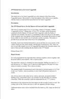
The document to the left gives a brief description of the whole survey together with the streets covered and the transcribed text for Great Coggeshall. Click on the document to download the file.
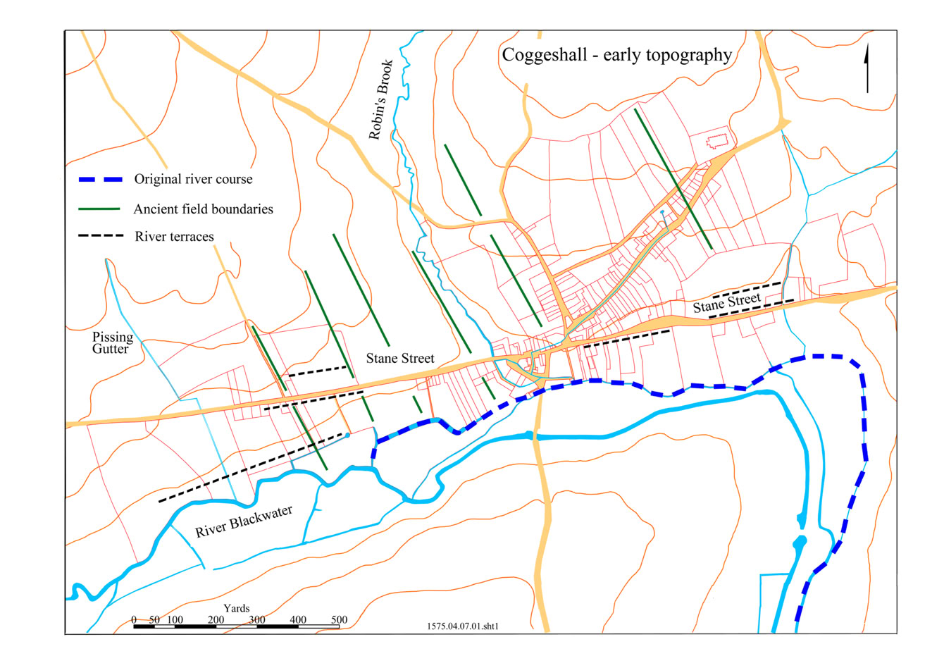
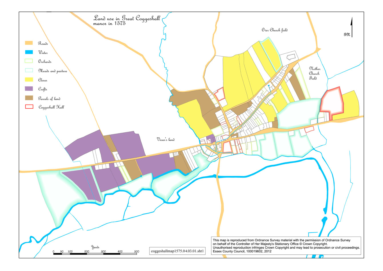
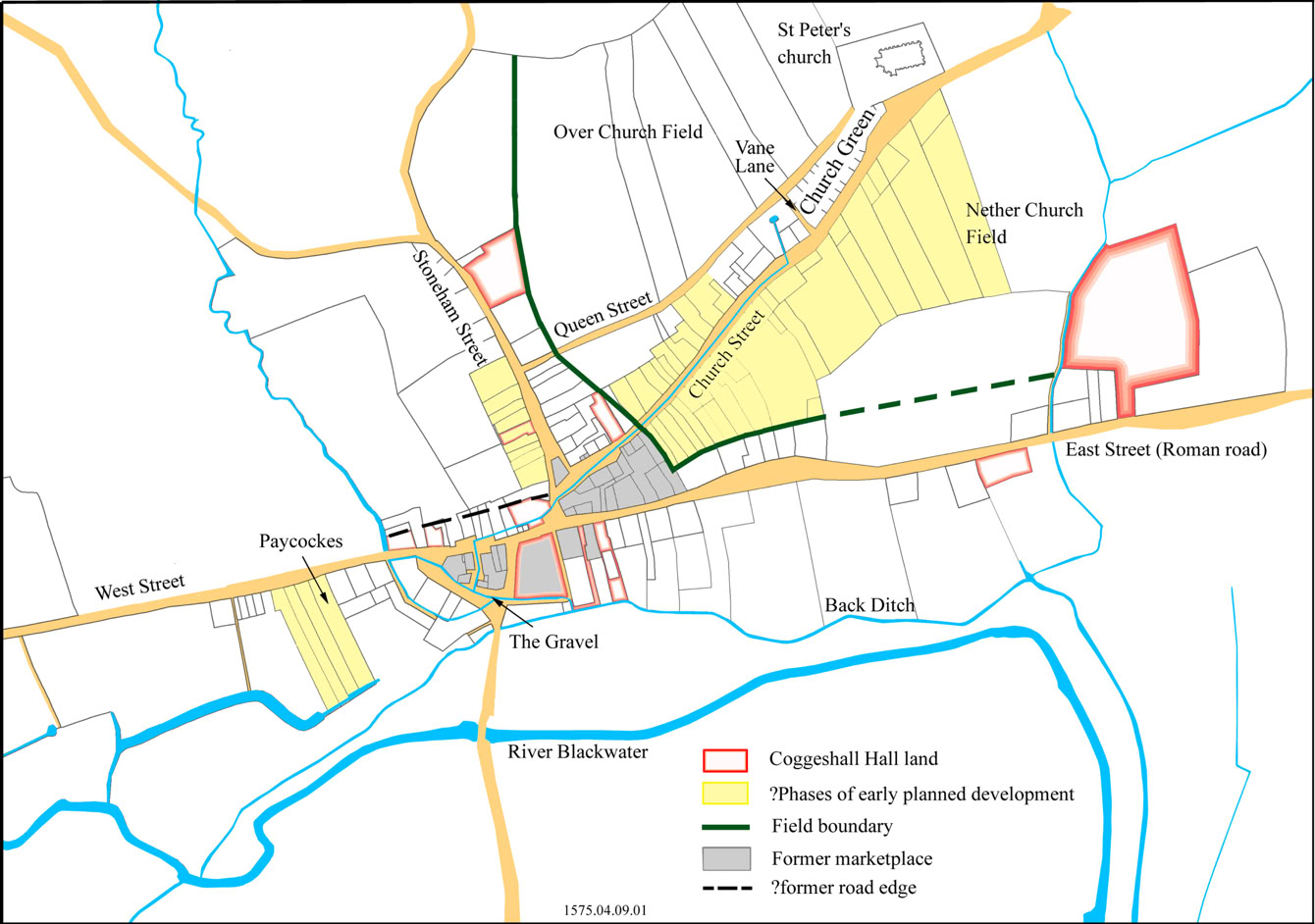
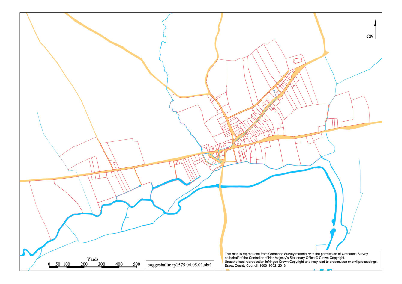
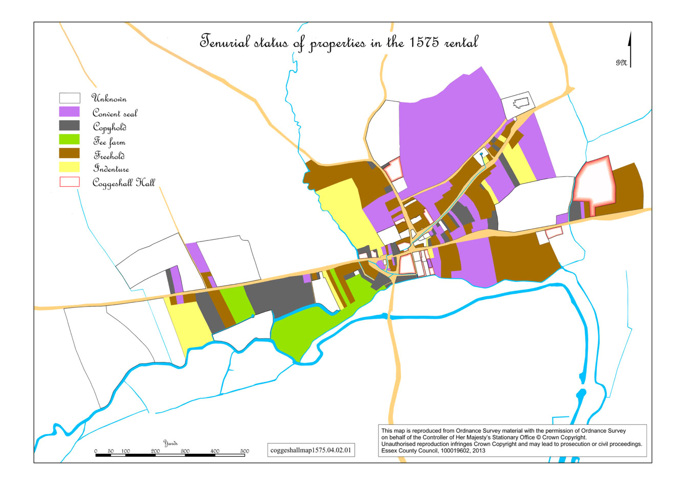
The Rental Survey was a key element of the "Discovering Coggeshall" project. A whole series of maps were produced for the Discovering Coggeshall Vol 2 book and for future detailed research. Click on the maps below to enlarge them.
The Discovering Coggeshall Archive
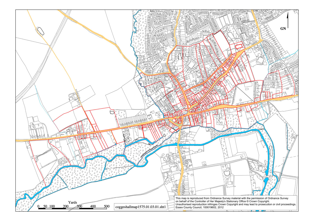
Click on the map to open the full size image. Click on the X to close this window.
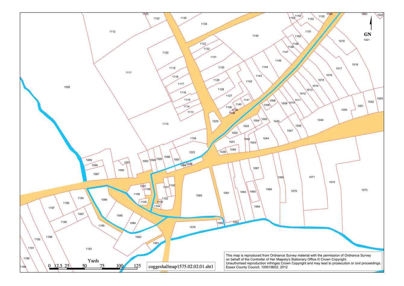
Click on the map to open the full size image. Click on the X to close this window.

Click on the map to open the full size image. Click on the X to close this window.
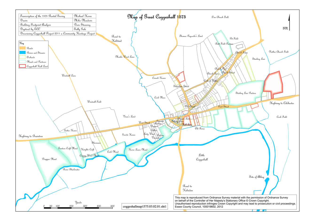
Click on the map to open the full size image. Click on the X to close this window.
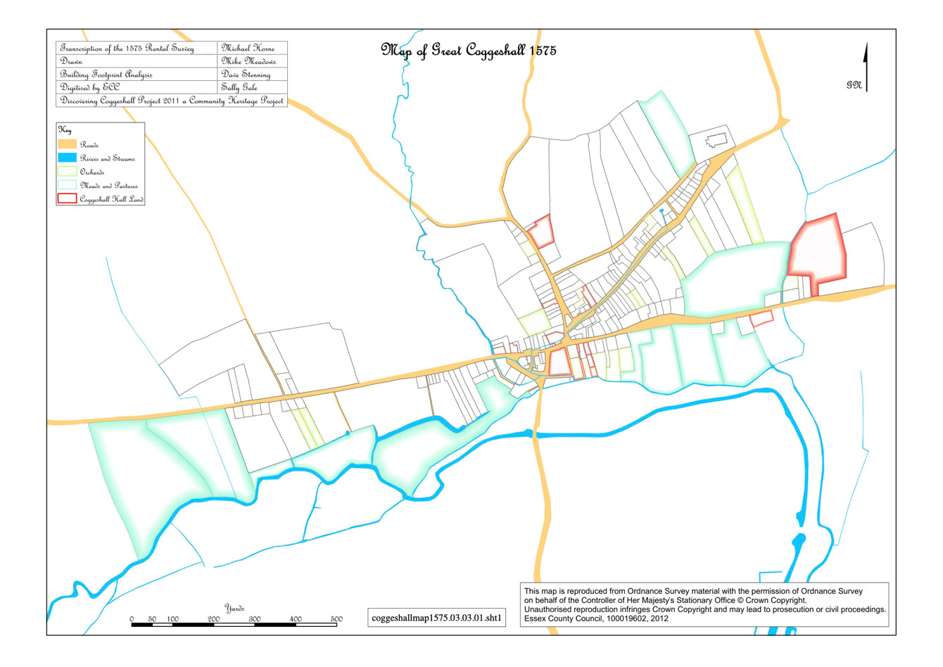
Click on the map to open the full size image. Click on the X to close this window.
Click on the map to open the full size image. Click on the X to close this window.